Today in Penn al Lann, warning: strong gusts in the afternoon.
Temperatures will vary between 8 and 13°C.
The reliability of the situation is very good.
This morning
8°Feels Like 7°
Gusts 30 km/hS 20 km/h
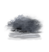
Fog, giving way to low cloud.
No precipitation.
No risk of rain
UV index1Low
Sea InfoSlight
Wave height0,6 to 1m
This afternoon
13°Feels Like 11°due to the wind
Gusts 50 km/hSW 30 km/h
Very cloudy sky turning overcast.
No precipitation.
No risk of rain
UV index2Low
Sea InfoSlight
Wave height0,6 to 1m
This evening
10°Feels Like 4°due to the wind
Gusts 55 km/hSW 30 km/h
Overcast sky.
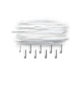
Drizzle starting to fall at the end of the evening.